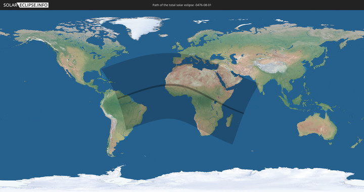
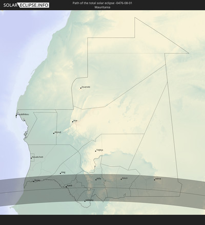
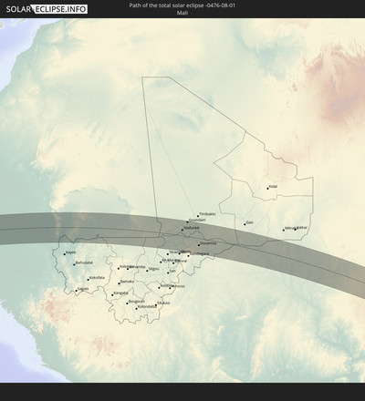
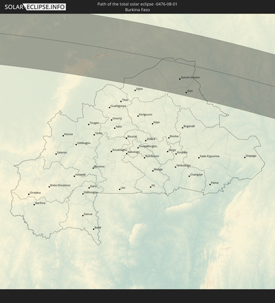
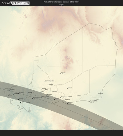
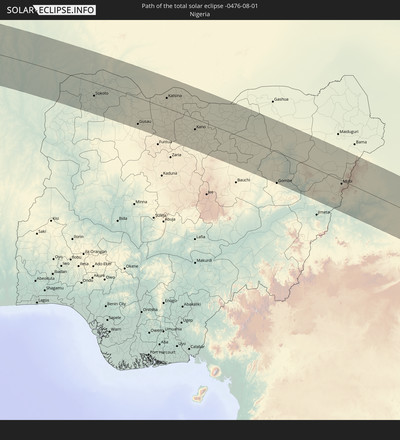
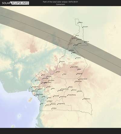
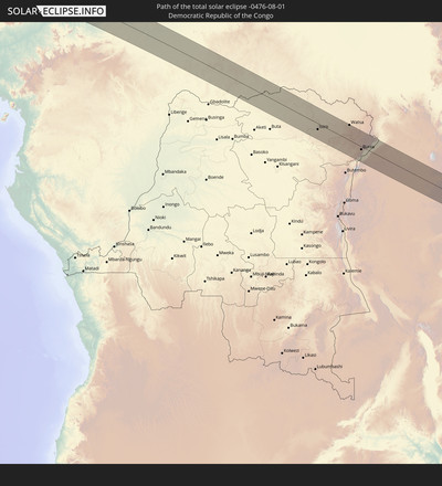
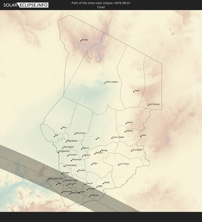
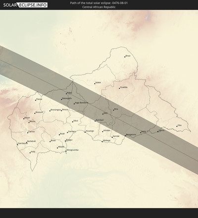
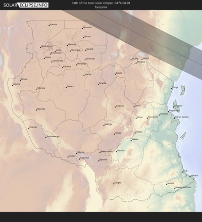
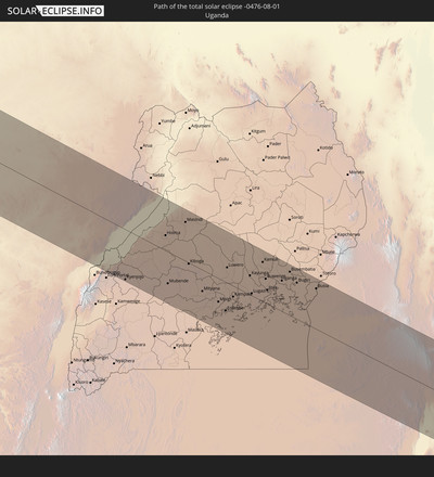
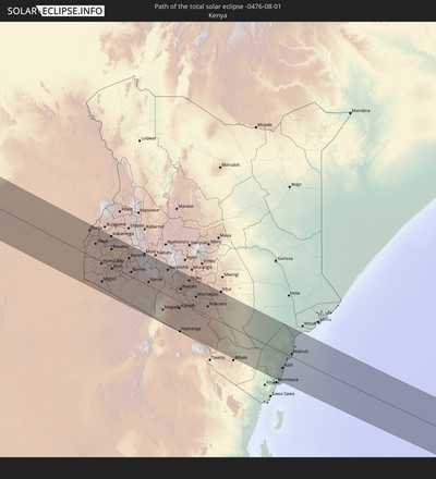
Total solar eclipse of 08/01/-0476
| Day of week: | Thursday |
| Maximum duration of eclipse: | 05m53s |
| Maximum width of eclipse path: | 207 km |
| Saros cycle: | 57 |
| Coverage: | 100% |
| Magnitude: | 1.0627 |
| Gamma: | -0.0907 |
Wo kann man die Sonnenfinsternis vom 08/01/-0476 sehen?
Die Sonnenfinsternis am 08/01/-0476 kann man in 120 Ländern als partielle Sonnenfinsternis beobachten.
Der Finsternispfad verläuft durch 20 Länder. Nur in diesen Ländern ist sie als total Sonnenfinsternis zu sehen.
In den folgenden Ländern ist die Sonnenfinsternis total zu sehen
In den folgenden Ländern ist die Sonnenfinsternis partiell zu sehen
 The Bahamas
 Haiti
Haiti
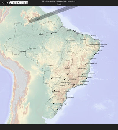
 Brazil
 Argentina
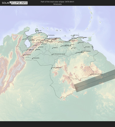
 Venezuela
 Turks and Caicos Islands
 Dominican Republic
 Puerto Rico
 United States Virgin Islands
 Bermuda
 British Virgin Islands
 Anguilla
 Collectivity of Saint Martin
 Saint Barthélemy
 Saint Kitts and Nevis
 Paraguay
 Antigua and Barbuda
 Montserrat
 Trinidad and Tobago
 Guadeloupe
 Grenada
 Dominica
 Saint Vincent and the Grenadines
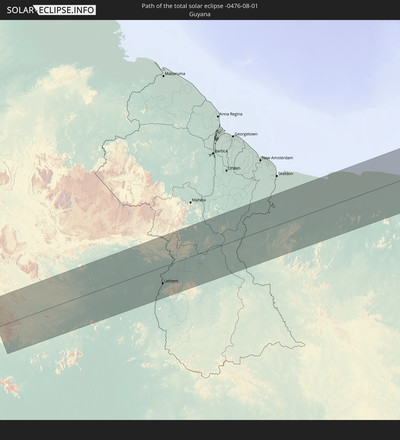
 Guyana
 Martinique
 Saint Lucia
 Barbados
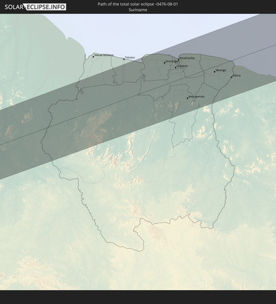
 Suriname
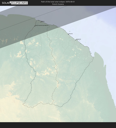
 French Guiana
 Portugal
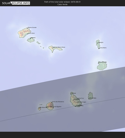
 Cabo Verde
 Spain
Spain
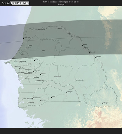
 Senegal
 Mauritania
 The Gambia
 Guinea-Bissau
 Guinea
 Saint Helena, Ascension and Tristan da Cunha
 Sierra Leone
 Morocco
 Mali
Mali
 Liberia
 Algeria
 Ivory Coast
 Burkina Faso
 Gibraltar
 France
 Ghana
Ghana
 Togo
Togo
 Niger
Niger
 Benin
Benin
 Andorra
 Nigeria
 Equatorial Guinea
 São Tomé and Príncipe
 Italy
Italy
 Monaco
 Tunisia
 Cameroon
 Gabon
Gabon
 Libya
Libya
 Republic of the Congo
 Angola
 Namibia
 Democratic Republic of the Congo
 San Marino
 Vatican City
 Chad
Chad
 Croatia
 Malta
Malta
 Central African Republic
 Bosnia and Herzegovina
 South Africa
 Montenegro
 Albania
 Greece
 Botswana
 Republic of Macedonia
 Sudan
Sudan
 Zambia
 Bulgaria
 Egypt
Egypt
 Zimbabwe
 Turkey
 Lesotho
 Rwanda
 Burundi
 Tanzania
 Uganda
 Mozambique
 Swaziland
 Cyprus
 Malawi
 Ethiopia
 Kenya
Kenya
 State of Palestine
 Israel
 Saudi Arabia
 Jordan
 Lebanon
 Syria
Syria
 Eritrea
 Iraq
Iraq
 French Southern and Antarctic Lands
 Somalia
 Djibouti
 Yemen
Yemen
 Madagascar
 Comoros
 Iran
Iran
 Mayotte
 Seychelles
 Kuwait
 Bahrain
 Qatar
Qatar
 United Arab Emirates
 Oman
Oman
 Réunion
 Mauritius
 India
India
How will be the weather during the total solar eclipse on 08/01/-0476?
Where is the best place to see the total solar eclipse of 08/01/-0476?
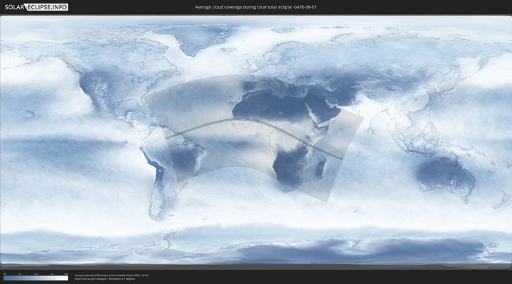
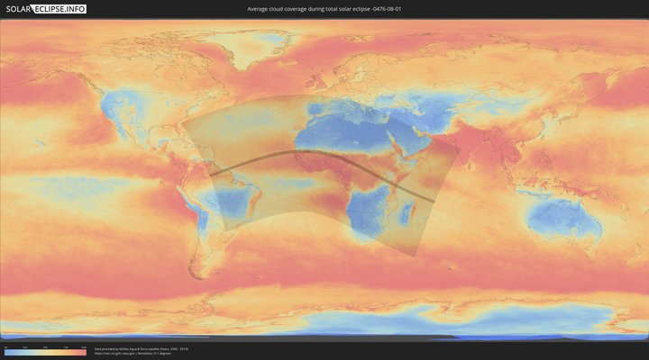
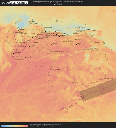
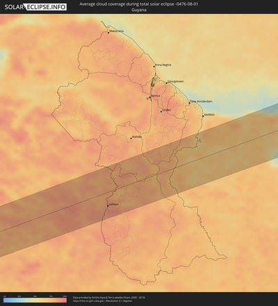
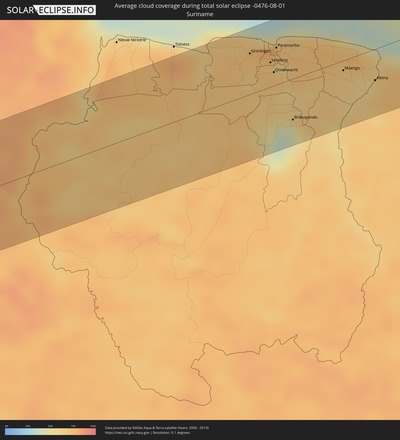
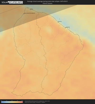
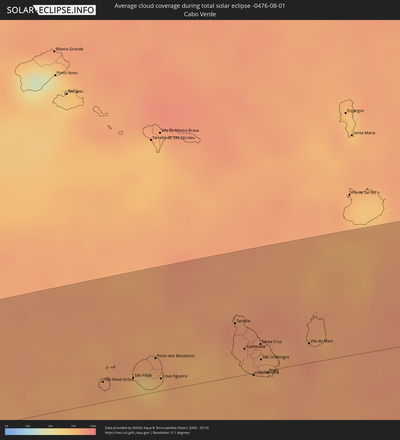
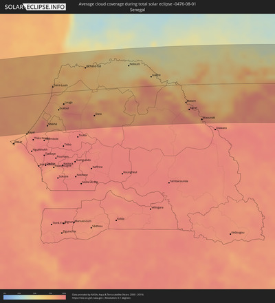
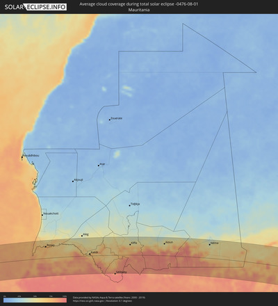
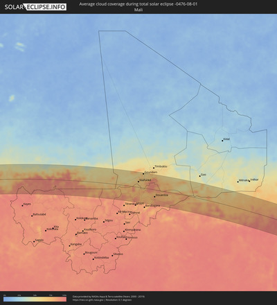
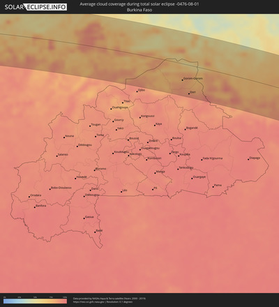
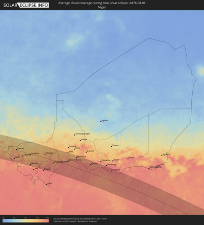
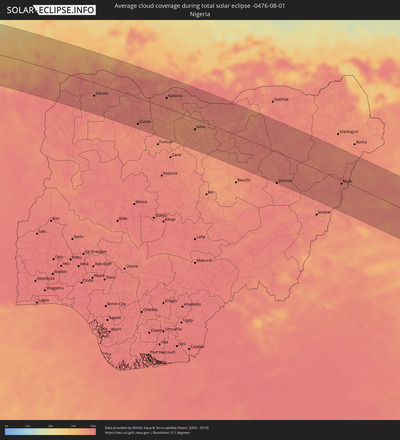
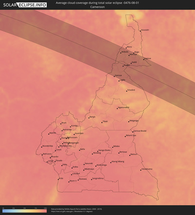
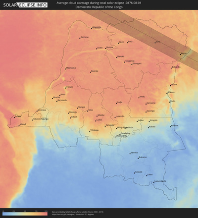
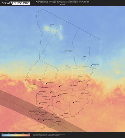
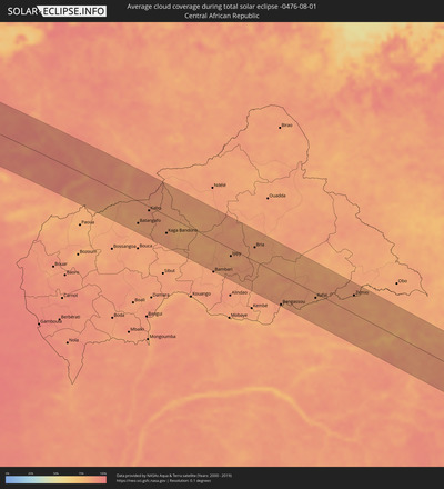
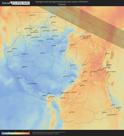
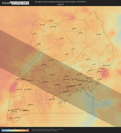
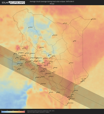
The following maps show the average cloud coverage for the day of the total solar eclipse.
With the help of these maps, it is possible to find the place along the eclipse path, which has the best
chance of a cloudless sky.
Nevertheless, you should consider local circumstances and inform about the weather of your chosen
observation site.
The data is provided by NASAs satellites
AQUA and TERRA.
The cloud maps are averaged over a period of 19 years (2000 - 2019).
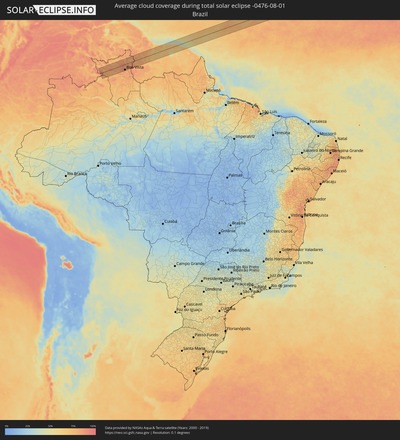
Detailed country maps
Cities inside the path of the eclipse
The following table shows all locations with a population of more than 5,000 inside the eclipse path. Cities which have more than 100,000 inhabitants are marked bold. A click at the locations opens a detailed map.
| City | Type | Eclipse duration | Local time of max. eclipse | Distance to central line | Ø Cloud coverage |
 Boa Vista, Roraima
|
total | - | 06:11:27 UTC-04:02 | 66 km | 83% |
 Lethem, Upper Takutu-Upper Essequibo
|
total | - | 06:21:36 UTC-03:52 | 40 km | 85% |
 Groningen, Saramacca
|
total | - | 06:34:46 UTC-03:40 | 48 km | 70% |
 Lelydorp, Wanica
|
total | - | 06:34:48 UTC-03:40 | 29 km | 69% |
 Onverwacht, Para
|
total | - | 06:34:47 UTC-03:40 | 16 km | 71% |
 Paramaribo, Paramaribo
|
total | - | 06:34:51 UTC-03:40 | 44 km | 76% |
 Nieuw Amsterdam, Commewijne
|
total | - | 06:34:53 UTC-03:40 | 43 km | 70% |
 Brokopondo, Brokopondo
|
total | - | 06:34:44 UTC-03:40 | 48 km | 60% |
 Moengo, Marowijne
|
total | - | 06:35:00 UTC-03:40 | 12 km | 67% |
 Albina, Marowijne
|
total | - | 06:35:05 UTC-03:40 | 37 km | 59% |
 Saint-Laurent-du-Maroni, Guyane
|
total | - | 06:46:26 UTC-03:29 | 37 km | 66% |
 Mana, Guyane
|
total | - | 06:46:32 UTC-03:29 | 29 km | 62% |
 Vila Nova Sintra, Brava
|
total | - | 09:15:31 UTC-01:34 | 16 km | 81% |
 São Filipe, São Filipe
|
total | - | 09:15:58 UTC-01:34 | 14 km | 79% |
 Cova Figueira, Santa Catarina do Fogo
|
total | - | 09:16:21 UTC-01:34 | 10 km | 74% |
 Tarrafal, Tarrafal
|
total | - | 09:17:33 UTC-01:34 | 41 km | 85% |
 Assomada, Santa Catarina
|
total | - | 09:17:38 UTC-01:34 | 20 km | 79% |
 Picos, São Salvador do Mundo
|
total | - | 09:17:43 UTC-01:34 | 17 km | 82% |
 Cidade Velha, Ribeira Grande de Santiago
|
total | - | 09:17:42 UTC-01:34 | 1 km | 83% |
 Calheta, São Miguel
|
total | - | 09:17:50 UTC-01:34 | 28 km | 83% |
 Santa Cruz, Santa Cruz
|
total | - | 09:17:52 UTC-01:34 | 21 km | 82% |
 São Domingos, São Domingos
|
total | - | 09:17:51 UTC-01:34 | 9 km | 79% |
 Praia, Praia
|
total | - | 09:17:55 UTC-01:34 | 2 km | 83% |
 Vila do Maio, Maio
|
total | - | 09:18:35 UTC-01:34 | 15 km | 87% |
 Mékhé, Thiès
|
total | - | 10:51:27 UTC-00:16 | 85 km | 88% |
 Saint-Louis, Saint-Louis
|
total | - | 10:51:53 UTC-00:16 | 15 km | 83% |
 Guéoul, Louga
|
total | - | 10:52:10 UTC-00:16 | 46 km | 76% |
 Louga, Louga
|
total | - | 10:52:30 UTC-00:16 | 32 km | 90% |
 Rosso, Trarza
|
total | - | 10:53:39 UTC-00:16 | 64 km | 76% |
 Rosso, Saint-Louis
|
total | - | 10:53:39 UTC-00:16 | 53 km | 75% |
 Richard-Toll, Saint-Louis
|
total | - | 10:53:54 UTC-00:16 | 57 km | 74% |
 Dara, Louga
|
total | - | 10:54:22 UTC-00:16 | 68 km | 90% |
 Ndibène Dahra, Louga
|
total | - | 10:54:22 UTC-00:16 | 70 km | 90% |
 Tékane, Trarza
|
total | - | 10:54:31 UTC-00:16 | 68 km | 73% |
 Ndioum, Saint-Louis
|
total | - | 10:56:34 UTC-00:16 | 56 km | 50% |
 Kaédi, Gorgol
|
total | - | 10:59:32 UTC-00:16 | 10 km | 66% |
 Ouro Sogui, Matam
|
total | - | 11:00:01 UTC-00:16 | 52 km | 88% |
 Matam, Matam
|
total | - | 11:00:12 UTC-00:16 | 46 km | 78% |
 Kanel, Matam
|
total | - | 11:00:25 UTC-00:16 | 65 km | 90% |
 Kiffa, Assaba
|
total | - | 11:05:10 UTC-00:16 | 58 km | 66% |
 Aioun, Hodh El Gharbi
|
total | - | 11:10:06 UTC-00:16 | 66 km | 48% |
 Néma, Hodh ech Chargui
|
total | - | 11:16:49 UTC-00:16 | 75 km | 48% |
 Niafunké, Tombouctou
|
total | - | 11:26:40 UTC-00:16 | 37 km | 66% |
 Goundam, Tombouctou
|
total | - | 11:27:22 UTC-00:16 | 95 km | 67% |
 Douentza, Mopti
|
total | - | 11:30:15 UTC-00:16 | 48 km | 85% |
 Gorom-Gorom, Sahel
|
total | - | 11:38:50 UTC-00:16 | 53 km | 85% |
 Dori, Sahel
|
total | - | 11:39:43 UTC-00:16 | 93 km | 90% |
 Téra, Tillabéri
|
total | - | 12:11:51 UTC+00:13 | 76 km | 89% |
 Ayorou, Tillabéri
|
total | - | 12:11:49 UTC+00:13 | 6 km | 82% |
 Tillabéri, Tillabéri
|
total | - | 12:13:49 UTC+00:13 | 36 km | 81% |
 Niamey, Niamey
|
total | - | 12:16:20 UTC+00:13 | 93 km | 87% |
 Filingué, Tillabéri
|
total | - | 12:19:13 UTC+00:13 | 32 km | 79% |
 Dogondoutchi, Dosso
|
total | - | 12:21:56 UTC+00:13 | 22 km | 89% |
 Sokoto, Sokoto
|
total | - | 12:25:59 UTC+00:13 | 43 km | 92% |
 Birni N Konni, Tahoua
|
total | - | 12:25:20 UTC+00:13 | 34 km | 90% |
 Madaoua, Tahoua
|
total | - | 12:27:06 UTC+00:13 | 88 km | 89% |
 Gusau, Zamfara
|
total | - | 12:30:56 UTC+00:13 | 87 km | 93% |
 Tibiri, Maradi
|
total | - | 12:30:39 UTC+00:13 | 73 km | 96% |
 Maradi, Maradi
|
total | - | 12:30:52 UTC+00:13 | 68 km | 94% |
 Katsina, Katsina
|
total | - | 12:32:46 UTC+00:13 | 33 km | 91% |
 Malumfashi, Katsina
|
total | - | 12:34:01 UTC+00:13 | 91 km | 89% |
 Aguié, Maradi
|
total | - | 12:32:44 UTC+00:13 | 94 km | 88% |
 Kano, Kano
|
total | - | 12:36:18 UTC+00:13 | 35 km | 89% |
 Magaria, Zinder
|
total | - | 12:36:20 UTC+00:13 | 84 km | 96% |
 Hadejia, Jigawa
|
total | - | 12:39:56 UTC+00:13 | 73 km | 94% |
 Azare, Bauchi
|
total | - | 12:41:09 UTC+00:13 | 1 km | 94% |
 Potiskum, Yobe
|
total | - | 12:43:27 UTC+00:13 | 41 km | 93% |
 Gombe, Gombe
|
total | - | 12:45:12 UTC+00:13 | 101 km | 94% |
 Daura, Yobe
|
total | - | 12:44:28 UTC+00:13 | 38 km | 92% |
 Biu, Borno
|
total | - | 12:47:30 UTC+00:13 | 24 km | 92% |
 Mubi, Adamawa
|
total | - | 12:50:34 UTC+00:13 | 11 km | 95% |
 Pitoa, North
|
total | - | 12:52:07 UTC+00:13 | 89 km | 90% |
 Mokolo, Far North
|
total | - | 12:51:21 UTC+00:13 | 62 km | 91% |
 Guider, North
|
total | - | 12:52:36 UTC+00:13 | 14 km | 92% |
 Mboursou Léré, Mayo-Kebbi Ouest
|
total | - | 13:39:54 UTC+01:00 | 21 km | 92% |
 Maroua, Far North
|
total | - | 12:52:45 UTC+00:13 | 70 km | 90% |
 Mindif, Far North
|
total | - | 12:53:15 UTC+00:13 | 56 km | 92% |
 Kaélé, Far North
|
total | - | 12:53:37 UTC+00:13 | 28 km | 94% |
 Bogo, Far North
|
total | - | 12:53:18 UTC+00:13 | 98 km | 91% |
 Pala, Mayo-Kebbi Ouest
|
total | - | 13:42:08 UTC+01:00 | 26 km | 94% |
 Yagoua, Far North
|
total | - | 12:55:12 UTC+00:13 | 87 km | 92% |
 Bongor, Mayo-Kebbi Est
|
total | - | 13:42:12 UTC+01:00 | 88 km | 86% |
 Kelo, Tandjilé
|
total | - | 13:44:17 UTC+01:00 | 11 km | 93% |
 Moundou, Logone Occidental
|
total | - | 13:45:44 UTC+01:00 | 50 km | 86% |
 Béré, Tandjilé
|
total | - | 13:45:04 UTC+01:00 | 29 km | 90% |
 Laï, Tandjilé
|
total | - | 13:45:19 UTC+01:00 | 43 km | 86% |
 Benoy, Logone Occidental
|
total | - | 13:45:49 UTC+01:00 | 3 km | 92% |
 Bébédja, Logone Oriental
|
total | - | 13:46:43 UTC+01:00 | 16 km | 90% |
 Doba, Logone Oriental
|
total | - | 13:47:22 UTC+01:00 | 5 km | 90% |
 Koumra, Mandoul
|
total | - | 13:48:38 UTC+01:00 | 56 km | 86% |
 Moïssala, Mandoul
|
total | - | 13:49:43 UTC+01:00 | 9 km | 82% |
 Batangafo, Ouham
|
total | - | 13:05:21 UTC+00:13 | 69 km | 81% |
 Kabo, Ouham
|
total | - | 13:05:38 UTC+00:13 | 12 km | 88% |
 Kaga Bandoro, Nana-Grébizi
|
total | - | 13:07:34 UTC+00:13 | 55 km | 84% |
 Ippy, Ouaka
|
total | - | 13:12:22 UTC+00:13 | 23 km | 81% |
 Bria, Haute-Kotto
|
total | - | 13:13:31 UTC+00:13 | 43 km | 84% |
 Bangassou, Mbomou
|
total | - | 13:16:53 UTC+00:13 | 92 km | 82% |
 Rafaï, Mbomou
|
total | - | 13:18:37 UTC+00:13 | 14 km | 81% |
 Zemio, Haut-Mbomou
|
total | - | 13:20:35 UTC+00:13 | 57 km | 81% |
 Isiro, Orientale
|
total | - | 15:23:19 UTC+02:10 | 35 km | 87% |
 Wamba, Orientale
|
total | - | 15:24:25 UTC+02:10 | 77 km | 89% |
 Watsa, Orientale
|
total | - | 15:25:48 UTC+02:10 | 91 km | 86% |
 Bunia, Orientale
|
total | - | 15:28:01 UTC+02:10 | 17 km | 74% |
 Hoima, Western Region
|
total | - | 15:46:27 UTC+02:27 | 27 km | 79% |
 Masindi, Western Region
|
total | - | 15:46:42 UTC+02:27 | 70 km | 76% |
 Mityana, Central Region
|
total | - | 15:48:04 UTC+02:27 | 38 km | 76% |
 Namasuba, Central Region
|
total | - | 15:48:20 UTC+02:27 | 9 km | 79% |
 Entebbe, Central Region
|
total | - | 15:48:50 UTC+02:27 | 51 km | 67% |
 Luwero, Central Region
|
total | - | 15:48:16 UTC+02:27 | 28 km | 77% |
 Kampala, Central Region
|
total | - | 15:48:48 UTC+02:27 | 19 km | 74% |
 Mukono, Central Region
|
total | - | 15:48:59 UTC+02:27 | 7 km | 80% |
 Lugazi, Central Region
|
total | - | 15:49:09 UTC+02:27 | 4 km | 79% |
 Jinja, Eastern Region
|
total | - | 15:49:25 UTC+02:27 | 25 km | 62% |
 Iganga, Eastern Region
|
total | - | 15:49:35 UTC+02:27 | 55 km | 70% |
 Busia, Eastern Region
|
total | - | 15:50:23 UTC+02:27 | 73 km | 60% |
 Busia, Busia
|
total | - | 15:50:24 UTC+02:27 | 73 km | 60% |
 Lugulu, Busia
|
total | - | 15:50:40 UTC+02:27 | 77 km | 55% |
 Homa Bay, Homa Bay
|
total | - | 15:51:30 UTC+02:27 | 7 km | 48% |
 Sirari, Mara
|
total | - | 15:52:02 UTC+02:27 | 78 km | 62% |
 Mumias, Kakamega
|
total | - | 15:50:54 UTC+02:27 | 80 km | 56% |
 Kakamega, Kakamega
|
total | - | 15:51:13 UTC+02:27 | 89 km | 60% |
 Kisumu, Kisumu
|
total | - | 15:51:31 UTC+02:27 | 51 km | 44% |
 Naivasha, Nakuru
|
total | - | 15:53:36 UTC+02:27 | 75 km | 63% |
 Nairobi, Nairobi Area
|
total | - | 15:54:21 UTC+02:27 | 38 km | 80% |
 Thika, Nairobi Area
|
total | - | 15:54:25 UTC+02:27 | 75 km | 81% |
 Voi, Taita Taveta
|
total | - | 15:57:10 UTC+02:27 | 86 km | 76% |
 Kilifi, Kilifi
|
total | - | 15:58:19 UTC+02:27 | 45 km | 72% |
 Malindi, Kilifi
|
total | - | 15:58:18 UTC+02:27 | 9 km | 67% |
